 by
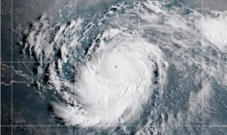
by MIAMI (AP) As Tropical Storm Chantal moves over central and eastern North Carolina, it has sparked worries about potential flash floods despite being downgraded to a depression on Sunday.
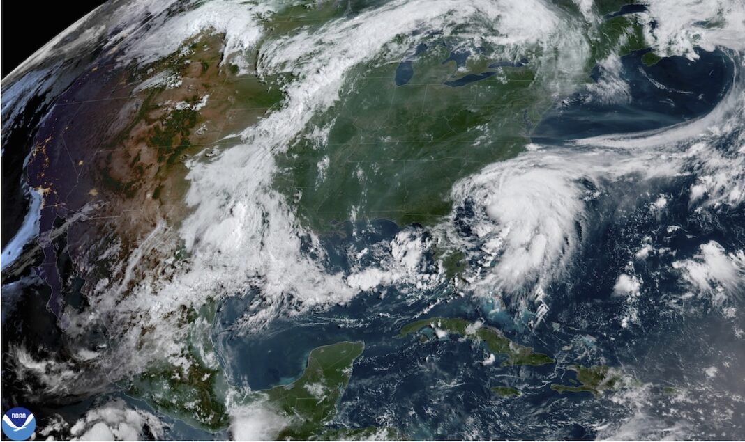
At around 4 a.m. EDT on Sunday, Chantal made ashore close to Litchfield Beach, South Carolina, according to the Miami-based National Hurricane Center. It was heading north at 9 mph with maximum sustained winds of 35 mph around 11 a.m., and it was roughly 80 miles west of Wilmington, North Carolina.
As the system continues to weaken, it was predicted to shift to the northeast late Sunday.
Tropical storm warnings for parts of the two Carolinas were canceled by the hurricane center. However, until Monday, there was a forecast of 2 to 4 inches of total rainfall and up to 6 inches locally, which could cause flash flooding in some areas of North Carolina.
For the next few days, forecasters predict that beaches from northeastern Florida to the mid-Atlantic states may experience severe surf and rip currents.
Residents had already received warnings from South Carolina’s Emergency Management division about the potential for minor coastal flooding and localized tornadoes along the coast. Additionally, it cautioned drivers against traveling on roads that were covered with water or near road closure signs in areas affected by flooding.